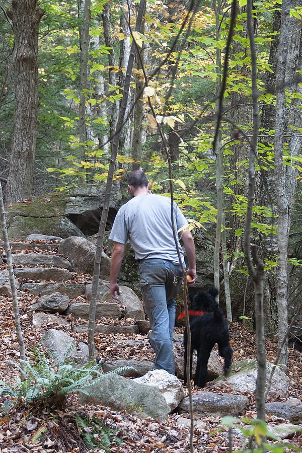
More than ever, people like you are finding respite in the out of doors, and land trusts like the Monadnock Conservancy are stepping up to meet that need. With the well-known mountains and parks seeing record crowds, the trails highlighted here might be just right for your next outing. All are on land owned and managed by the Conservancy. See below for links to trail maps, and please remember these tips to hike responsibly while social distancing. Enjoy!
Cunningham Pond Trail Network
Cunningham Pond Conservation Area, Peterborough
A 2-mile route is one of the best ways to see the Conservancy’s most recent acquisition. The main trail travels through woodlands and a hemlock grove, crossing two streams on sturdy wood bridges. Then, it climbs to a large hay field with sweeping views. From the field, it continues down to an old carriage road, following the pond’s edge before looping back to the main trail. The terrain is generally rolling, with only short steeper sections, and the surface is a mix of flat sections and some portions that require stepping over rocks and roots. Download map (PDF).
Porcupine Falls Trail
John and Rosemarie Calhoun Family Forest, Gilsum
This meandering out-and-back trail (about 0.7 mile round trip) travels through a mixed hardwood-conifer forest rich with mosses and ferns. It follows the quintessential babbling White Brook and culminates at a bridge below “Porky Falls,” as the Calhoun family called it. There are a few stone steps to climb along the way, but elevation gain is minimal. To make the hike a loop, cross the bridge at the falls and follow the trail a short distance to White Brook Road, which returns to the parking lot at the beginning. Download map (PDF).
Gramwick Trail
Mountain Brook Reservoir Conservation Area, Jaffrey
This easy out-and-back trail (about 1.5 miles round trip) follows the shoreline of Mountain Brook Reservoir, offering multiple views of the water as it meanders through mixed forest and over short sections of boardwalk. Elevation change is minimal, and the path is generally flat, with a few places to step over rocks and roots. The trail is named after Herb and Colette Gramm, who donated the land to the Conservancy, and their friend, Tom Sedgwick, who helped them build the original trail. Download map (PDF).
Sip Pond Peninsula Trail
Chamberlain Conservation Area, Fitzwilliam
Panoramic views of Mount Monadnock and water access in all seasons from a rocky point await. The 1.6-mile round-trip walk follows the Cheshire Rail Trail for most of the route and is generally flat. From the trailhead parking area, a short spur trail leads to the rail trail, which follows the southern boundary of the conservation property, skirting a broad wetland on the edge of Sip Pond. Access to the peninsula trail is at an orange gate on the right. While nearly the entire route is on gravel, the last bit is narrower and requires stepping over rocks and around bushes. Download map (PDF).
